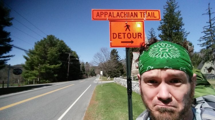
Today I got to ride in a convertible Mustang!😄 I was planning on hiking solo to make it to Salisbury by the end of the day but fortunately I didn’t have to thanks to the generosity of a stranger. Western CT is such a beautiful area and I got to learn a bit more about it from the guy who gave me a lift (who’s name escapes me). While Connecticut has proved to be more of a formidable opponent than I realized (just like NY), I look forward to returning to conquer it!
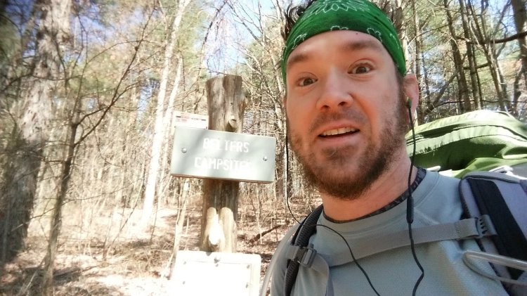
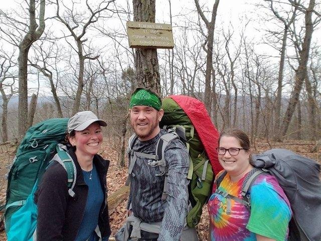
Silver Hill Campsite to Sharon Mountain Campsite – 9.1
Wednesday, April 13th, 2016
Not exactly sure if Sharon Mountain Campsite was the actual site or not but due to poor record keeping it’s my best guess. Rock Turtle’s knee was not happy with hiking today and I felt bad seeing it limit her so much. Despite the pain she was experiencing she did an incredible job of tolerating the climbs and descents and with much more help from Flo than from me, she conquered everything the day threw at her. The plan was to end our hike in Salisbury but it became apparent that we probably weren’t going to get that far, which I was really OK with!
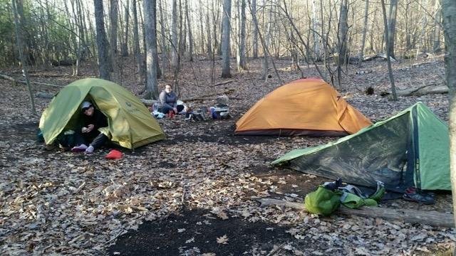
Mt. Algo Shelter to Silver Hill Campsite – 10.6 miles
Tuesday, April 12th, 2016
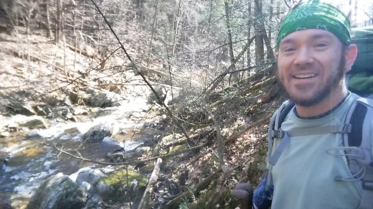
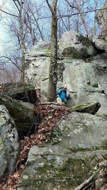
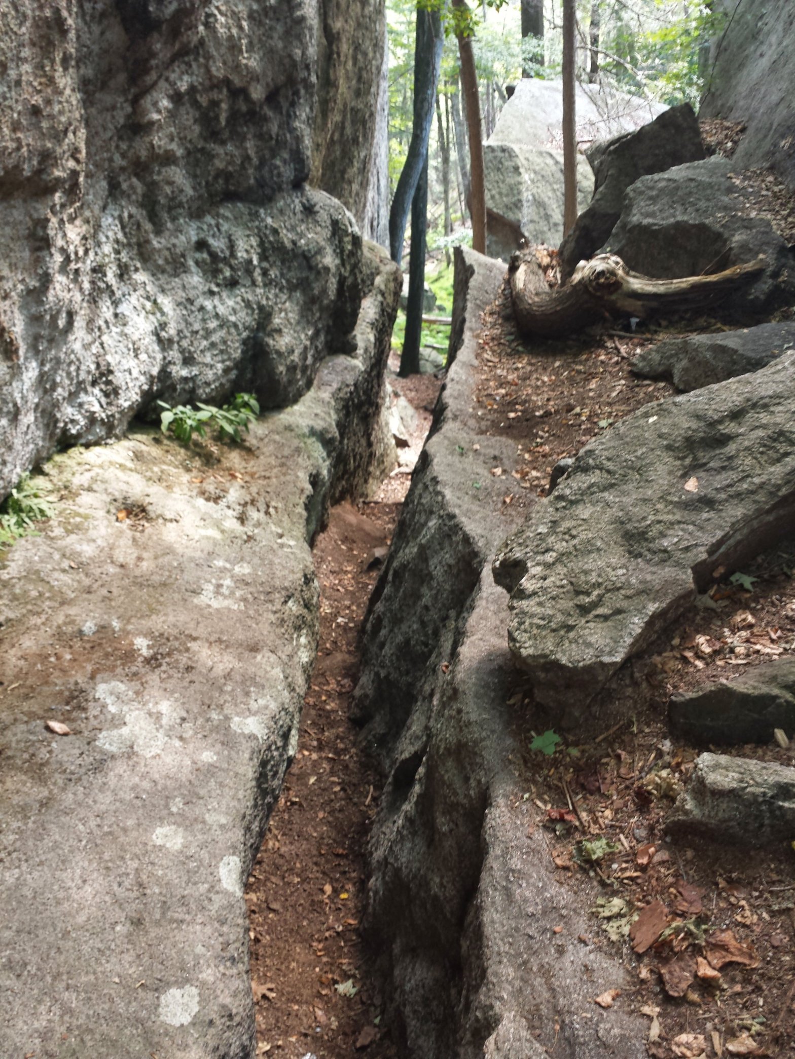
Today was a roller coaster of rocky ups and downs that I severely underestimated. The first five miles were pretty tricky. The reward was a flat four mile walk along the Housatonic River, followed by a climb to the Silver Hill Campsite, which contained a pavilion and a water pump. Caleb’s Peak and St. Johns Ledges were no joke, and I give Rock Turtle a lot of credit for tackling this section with a bad knee and living to tell about it.
St. Johns Ledges Rock Turtle navigating the Ledges
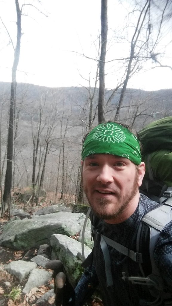
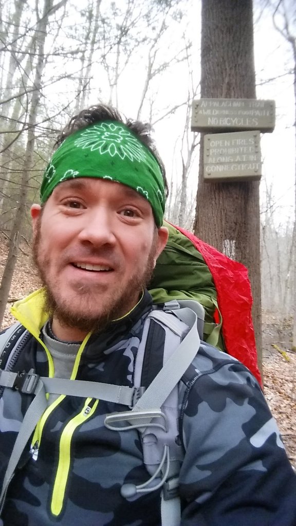
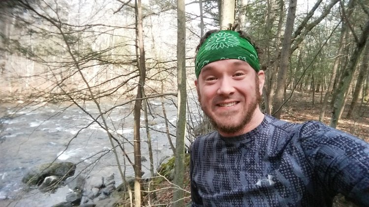
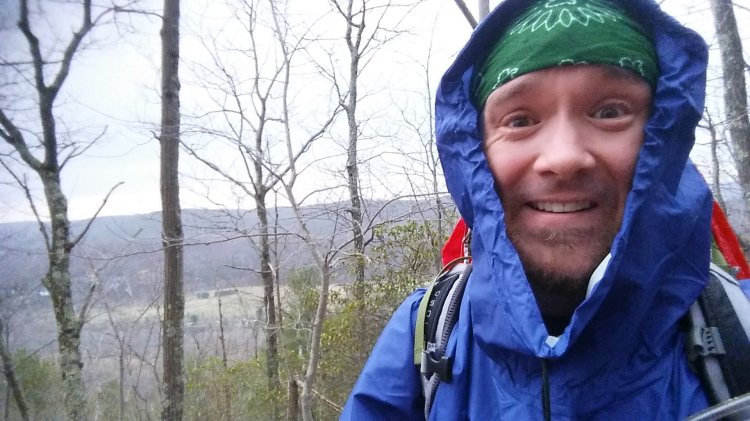
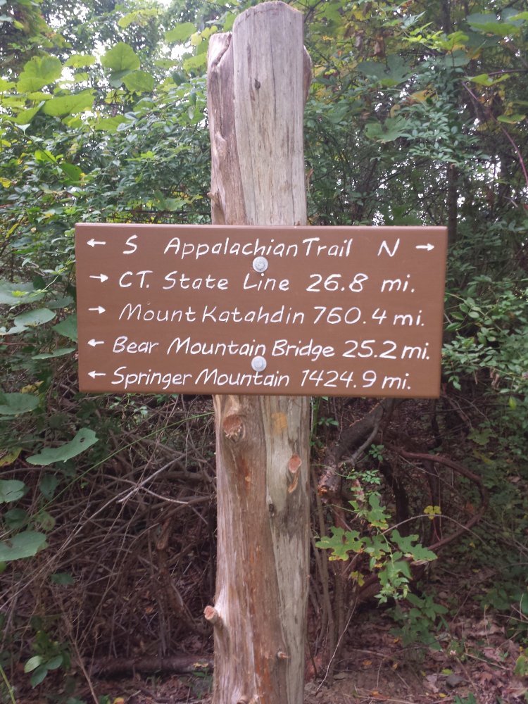
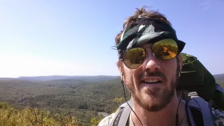
It’s been 19 months! Life threw me some curveballs and my backpack got put on the shelf for a while but it’s finally time to get some more miles! This outing was for three nights and I was fortunate enough to be joined by some friends from work, although my inability to hike at any pace other than full throttle found me hiking alone the majority of the time. (Sorry, Rock Turtle!) This entire day was threatened with rain which started to fall about an hour before I reached the shelter. The day started with a 600 foot climb up and over Ten Mile Hill, followed by a stroll along the Ten Mile River, which is actually 15.4 miles long. It was a tougher day than I’d anticipated but not nearly as tough as the next day would be. (I feel like I have a habit of saying that all the time.) Unfortunately, not all of our crew that we started with were able to make it to the end😟. It was dark by the time I got to the shelter. There was a peculiar fellow who had his tent set up inside the shelter who was kind of sprawled out all over the place, making things quite uncomfortable. It quickly became apparent that he was under the influence because he was minimally responsive and his only utterances were unintelligible ramblings. I slept with one eye open. Sorry for all the selfies. At least the mustache is gone!
Welcome back to Connecticut! Ten Mile Hill Ten Mile River Here comes the rain.
Telephone Pioneers Shelter to CT 55 – Gaylordsville, CT – 10.6 miles
Monday, September 22nd, 2014
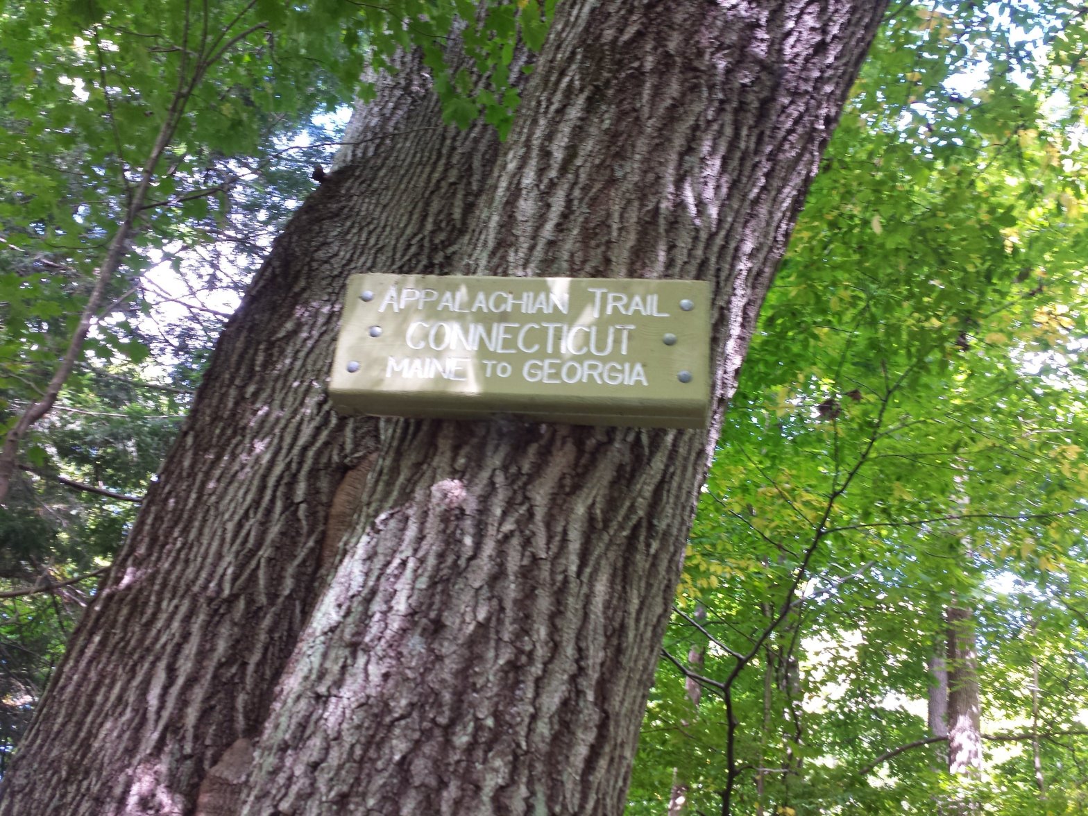
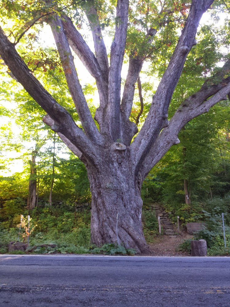
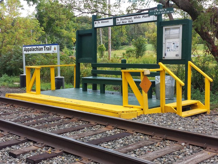
Last day in New York!! Ten miles to Connecticut… I was very happy to be finishing New York and ready to explore another state. The landscape started to change almost immediately for me today. I came down several hundred feet off the mountain to County Road 20 and stopped at a location I had been advised of to receive some trail magic. Thank you to Girl Scout Troop 10551 for the wonderful snacks and refreshments. They even made souvenir pins for the hikers that I still carry on my pack today. Almost directly across the street was a tree that claims to be the largest oak tree on the AT. The trail became less woodsy from here and there were more grassy fields and open areas. I crossed the train tracks at the Appalachian Trail Railroad Station which I later learned was an access point for drunks from NYC looking to go on weekend benders at AT shelters. 5.5 miles later as I was really making great time, I came to Wiley Shelter, where I had a very awkward and tense encounter with an inebriated New Yorker who informed me that he took the train from the city to the Appalachian Trail specifically for the purpose of getting drunk at this shelter all weekend. I declined his repeated offers to join him, as he staggered around with a bottle of vodka in his hand like the guys falling out of the saloon in the western movies I so thoroughly enjoy. He kept addressing me like I was an old friend that he’d been waiting for. I tried to be polite but he wasn’t getting the message and I realized that I was going to have to just walk away, and for a brief moment I wondered if I would spear him with my hiking pole if he came at me, because he seemed to be getting agitated by my refusal to accept his invitation. All these scenarios ran through my mind…”What if he has a knife?” “He probably has a gun.” “How quickly can I shed my pack to defend myself?” He followed me for a bit down the trail as I continued on my way, but he turned back after about a minute. I was thankful to be rid of the annoying troll. I wasn’t going to let ANYTHING spoil my majestic entrance into Connecticut, just one mile away!
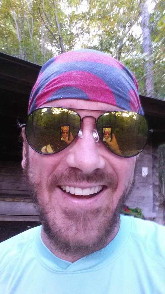
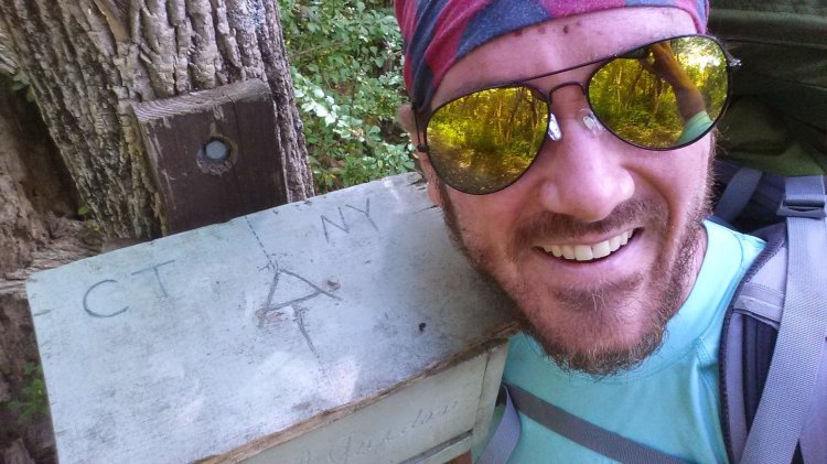
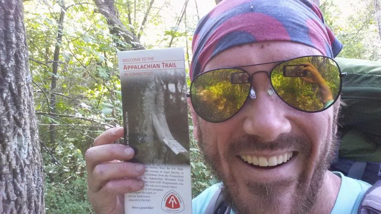
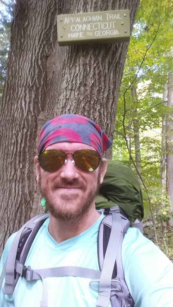
I didn’t know what kind of sign there would be, or if there would be a sign at all. I had a general idea where the state line was thanks to my guide book but was really hoping for a big sign with flashing neon lights or something! I reached the sign and stopped and posed for a dozen selfies and high-fived myself and then remembered I had three miles to go to get to where I left my car in Gaylordsville. That was kind of annoying but I just looked at it as a victory lap, and pranced into town with glee, wondering how soon I could get back to CT and finish this little state that had just welcomed me.
RPH Shelter to Telephone Pioneers Shelter – 16.8 miles
Sunday, September 21st, 2014
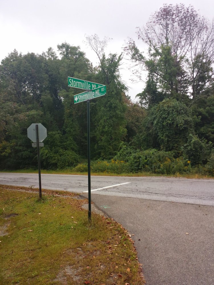
A slow start for me today… didn’t leave the cabin before 9am. My body’s aching! Today included passing under the Taconic Parkway and over Interstate 84 on Stormville Mountain Road, which is rather confusing if you look at the photo of the sign below. This is the day I believe I first used the Guthook AT app on my phone. I’m not sure if I downloaded it before and never used it or whatever… but it helped me to find the Telephone Pioneers Shelter in the dark, which I was grateful for. I was the only one there that night, and opted again to sleep in the shelter instead of pulling out my tent.
Graymoor Spiritual Life Center to RPH Shelter – 18.8 miles
Saturday September 20th, 2014
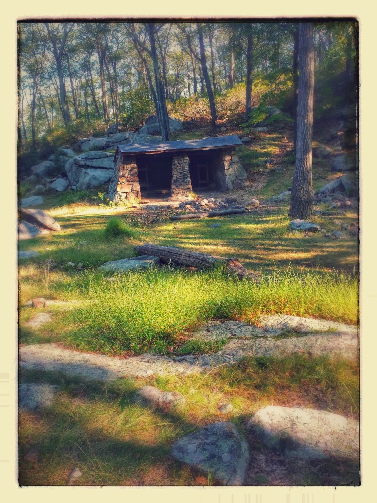
Definitely feeling drained today. The past two days have been rougher than I anticipated but hopefully there is relief in sight! The scouts got up very early and packed up and were gone before I was out of my tent. I was one of the last hikers to leave… followed only by my fellow Phish fan Dirty Bird. Today’s hike was much less eventful than yesterday’s. I encountered a friendly gnome on my travels but otherwise it was an uneventful day as far as I can recall. I reached the RPH Shelter on Horntown Road (“Ralph’s Peak Hiker Cabin”) as rain was threatening and I think this may be the first time I actually slept inside a shelter. I was fortunate enough to meet the legendary southbound thru-hiker Maxheap and enjoy a few moments of conversation. Also sharing the cabin with us were two younger guys in Pink Floyd tshirts who borrowed Max’s phone to order pizza delivered to the shelter.
William Brien Memorial Shelter to Graymoor Spiritual Life Center – 16.5 miles
Friday, September 19th, 2014
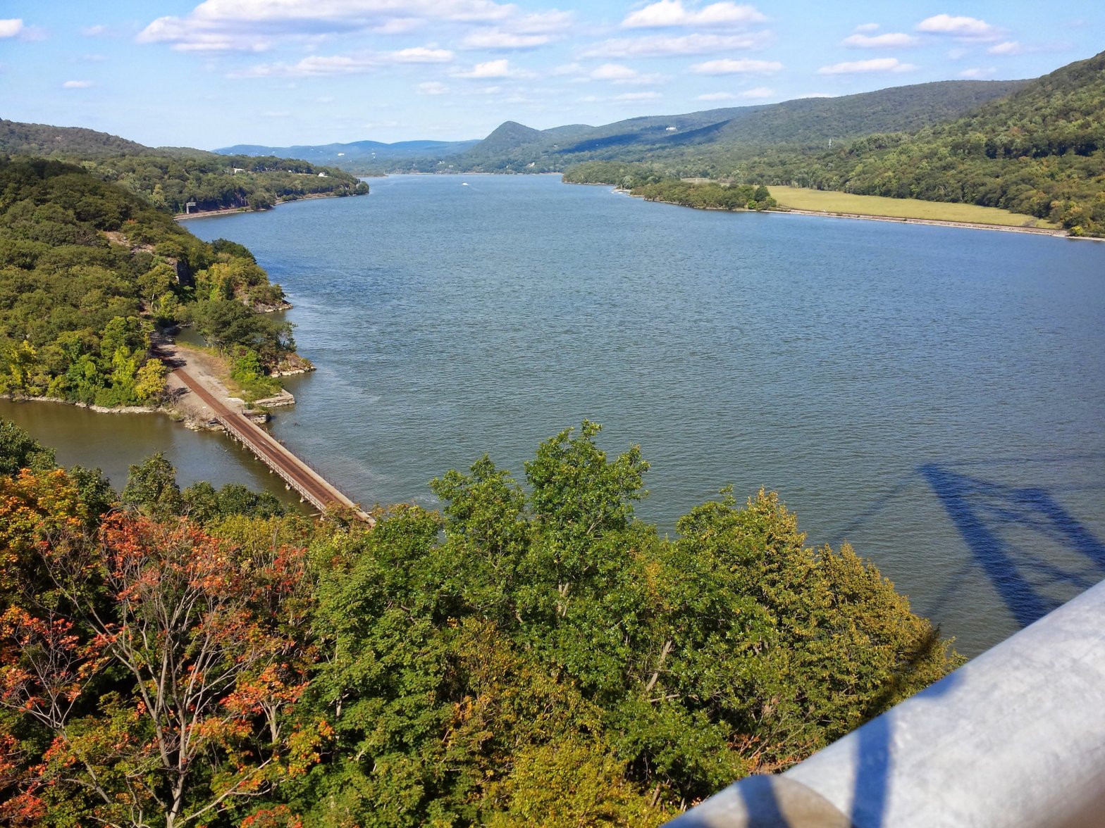
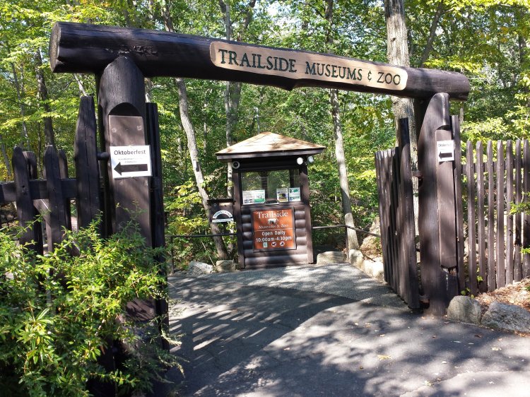
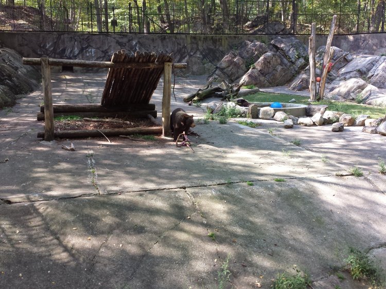
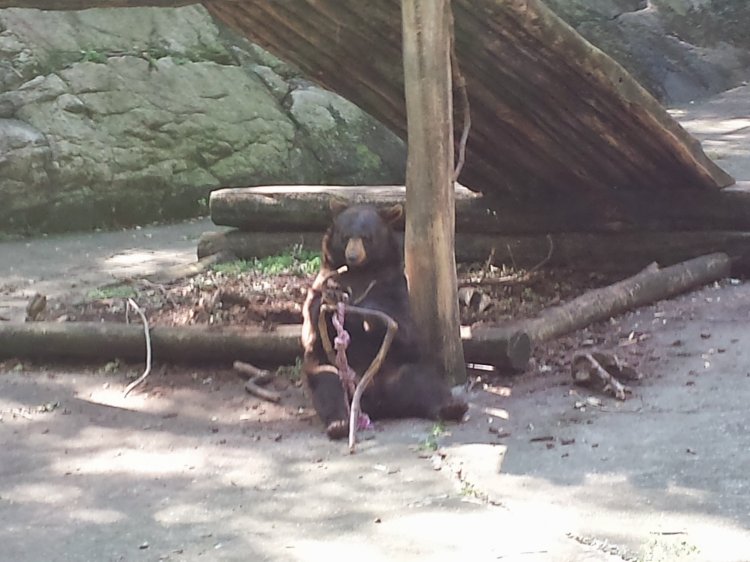
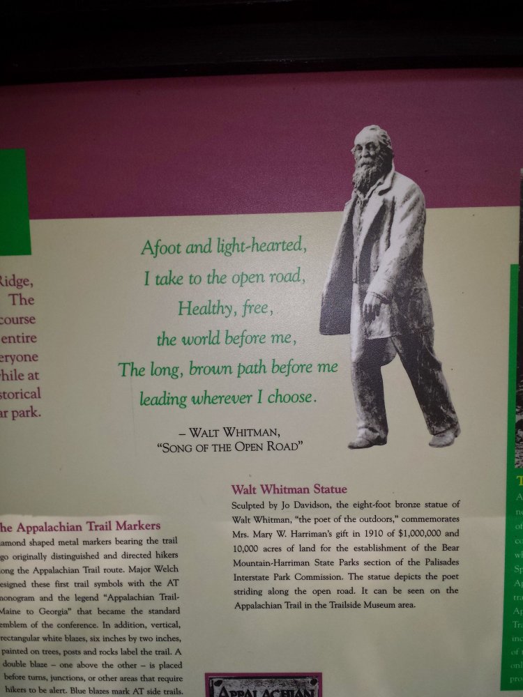
More ups and downs! At least my shoulders are holding up nicely. This new pack is wonderful. Today included playing Frogger across the Palisades Parkway, observing the New York City Skyline from approximately fifty miles away, Bear Mountain, the Trailside Museum and Zoo, and pitching my tent on a ball field next to a pavilion filled with boy scouts. It was the most unusual day I’ve had on the trail so far! Apparently I missed Oktoberfest by one day… the climb up Bear Mountain was intense and painful. The descent was impressive as well. The trail then passes through a park and a playground by Hessian Lake before entering the zoo. The most exciting part of the zoo was the vending machines… CANDY!! 🤡 The bear cage in the zoo is the lowest point on the AT at about 150ft. There was a Walt Whitman statue in the zoo which was unexpected. After the zoo the trail crosses the Hudson River on the Bear Mountain Bridge. At the end of the bridge I ran into a hiker who chatted with me a bit as he offered me the last two sips in his can of Arizona Iced Tea, which I gratefully accepted, only to then be asked if I “wouldn’t mind carrying the can”… I had fallen for the oldest trick in the book! Rookie mistakes… more ups and downs and then a strategically placed convenience store right before the Graymoor Spiritual Life Center. The Center allows hikers to camp in their field, which happened to be the same field hosting a Boy Scout event on this particular night. It was quite an interesting evening. I wasn’t feeling particularly social so I retired to my tent before “hiker midnight” (which I believe is 9pm). New York was beginning to intimidate me and I wanted to be well rested for whatever tomorrow threw my way.
I forgot what day it was… I said Thursday but it was Friday!
Black Mountain, view of NYCWilliam Brien Memorial Shelter
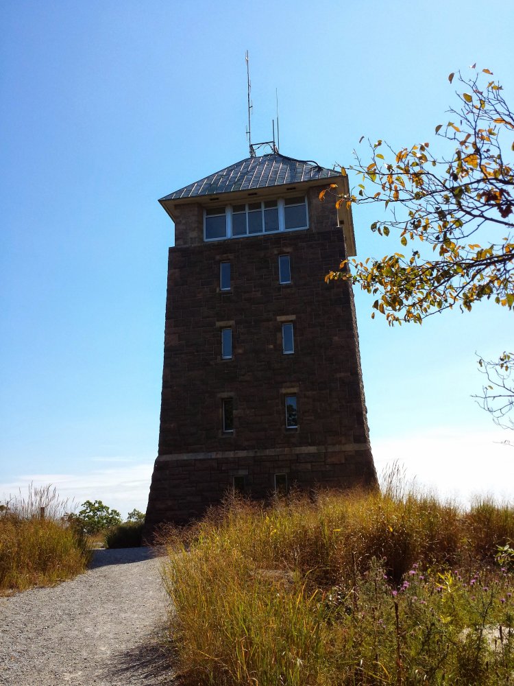
This is what the climb up Bear Mountain did to me! Imagine running into this guy on your hike?Perkins Memorial Tower
I guess Walt was a hiker?Hiker resupply station!White Blaze on the playground at Hessian Lake
Allis Trail to William Brien Memorial Shelter – 17 miles
Thursday, September 18th 2014
This was a ROUGH day! The profile doesn’t look terrible in the guidebook but boy did I underestimate these ups and downs. I guess that’s one of the big differences between a section hiker and a thru-hiker… my legs are definitely not seasoned enough to be cartwheeling up and down these mountains. I was eagerly anticipating the Lemon Squeezer but had no idea that getting there would be such an effort. Again… for people in adequate physical health I’m sure these mountains are no big deal but for the section hiker from PA who’s previous hiking experience has been mostly on rocks… I felt a little out of my element! Water can be tricky in this part of NY and the local trail angels are very aware of it and helpful. Several times I happened upon gallon jugs of water in coolers chained to trees. They seem to be placed at just the right locations. And the first aid box! What a thoughtful gesture…the mountains here may be harsh but the people are definitely not. The Lemon Squeezer was a tight squeeze but I made it through. I didn’t make it quite as far today as I had hoped, and stopped at the William Brien Memorial Shelter instead of the West Mountain Shelter three miles further.
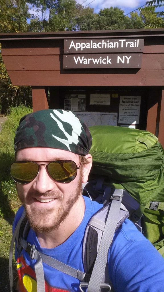
New backpack!! After a decent amount of research I am the proud owner of the Osprey Aether 70. Very excited now that my shoulders have healed! Picking up where I left off last time I was northbound, I started today at the hotdog stand on 17A near Greenwood Lake. I drove to Gaylordsville, CT and got a ride back to NY to start my hike. I didn’t get a very early start and due to poor cell signal I had some trouble with my rendezvous with my driver but eventually we connected and all was well. I hiked about 4 miles and tried to set up my tent but the only flat areas were the ones covered in rocks! I was really starting to see the flaws of this tent that required stakes to set up. So I continued on for another mile and found a suitable area that could accommodate my needy tent.