Appalachian Trail Day 39

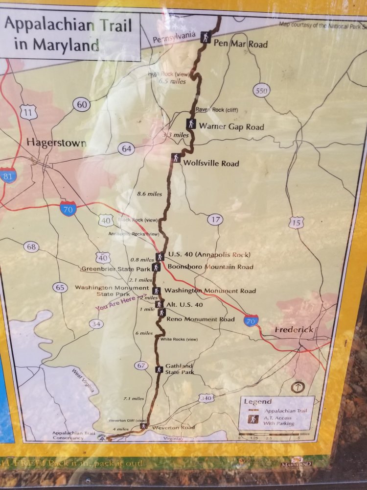
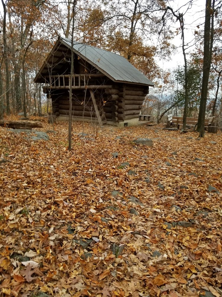
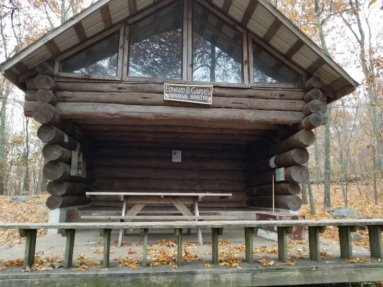
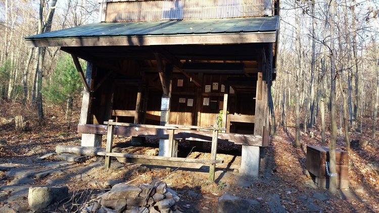
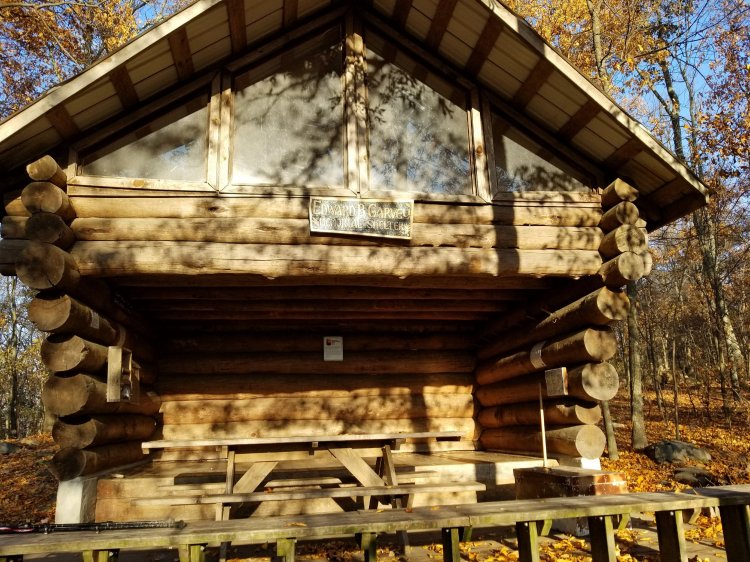
Ed Garvey Shelter to Keys Gap, WV – 12.6 miles

Thursday November 16th, 2017

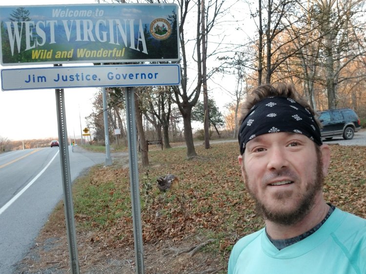
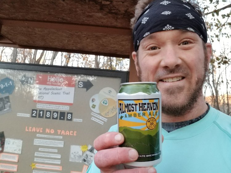
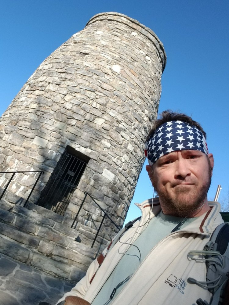
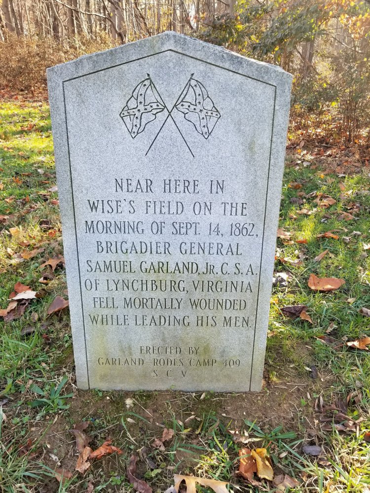
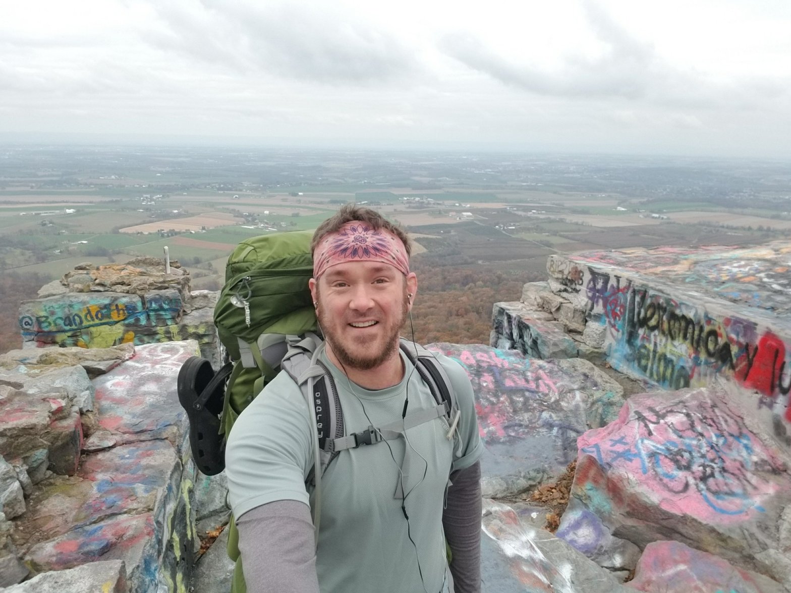
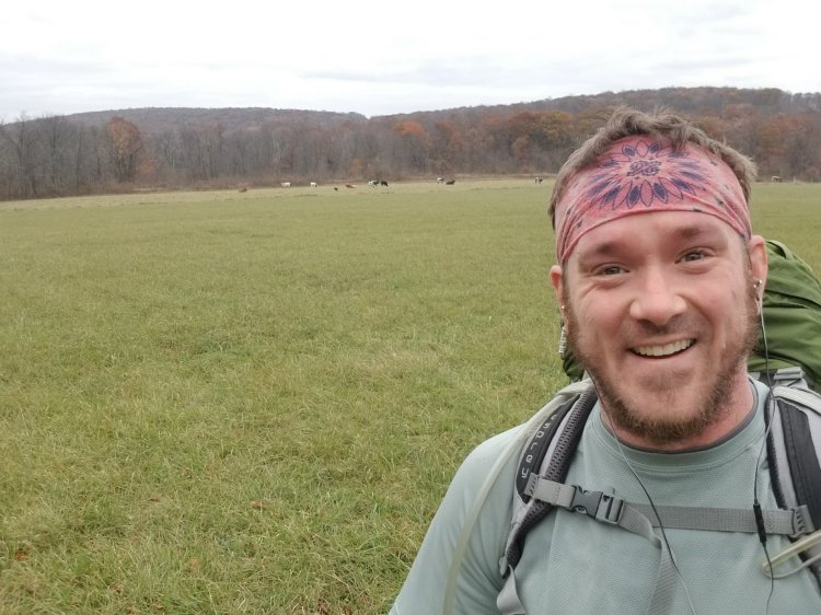
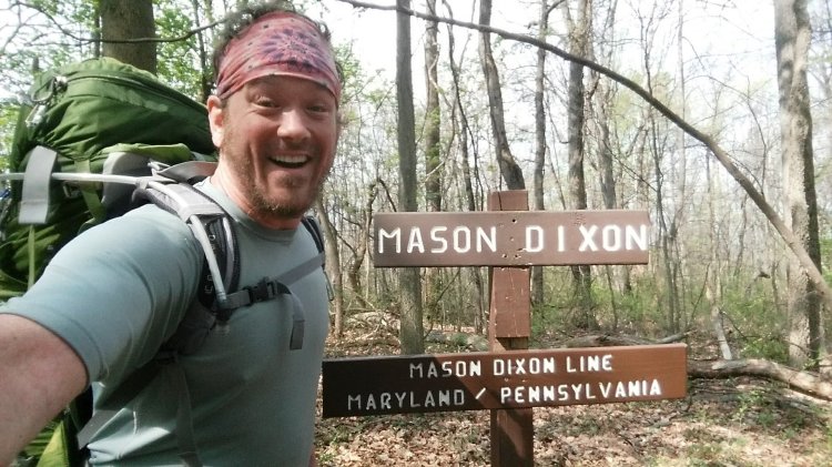
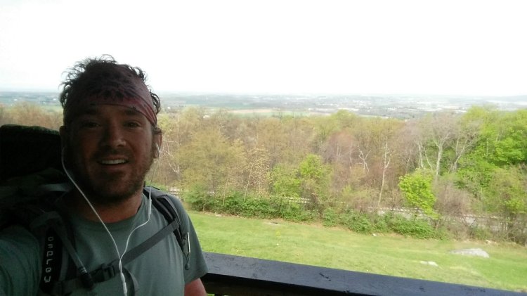
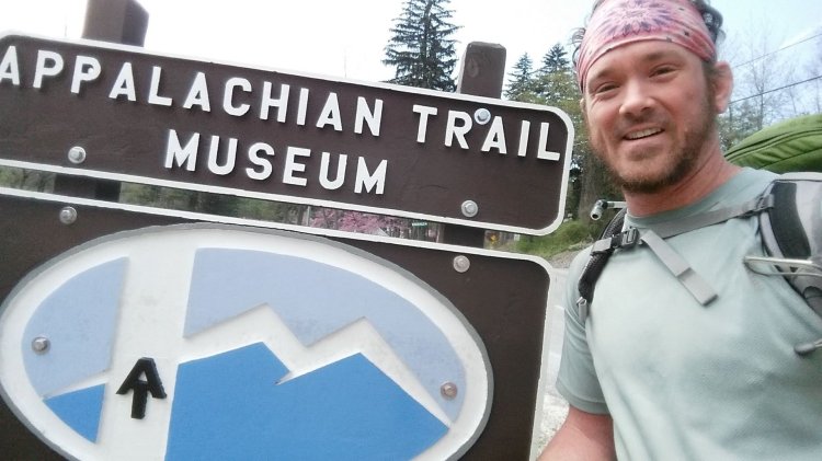
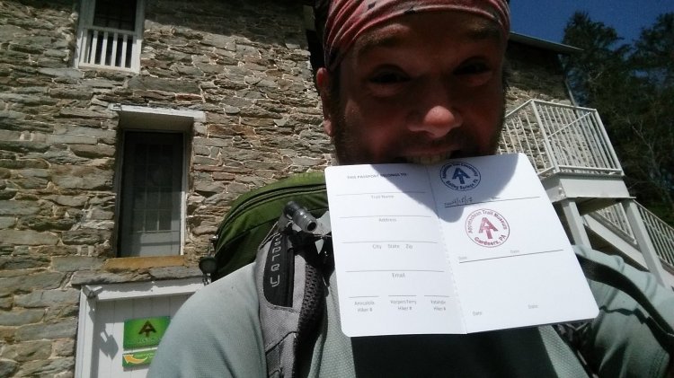
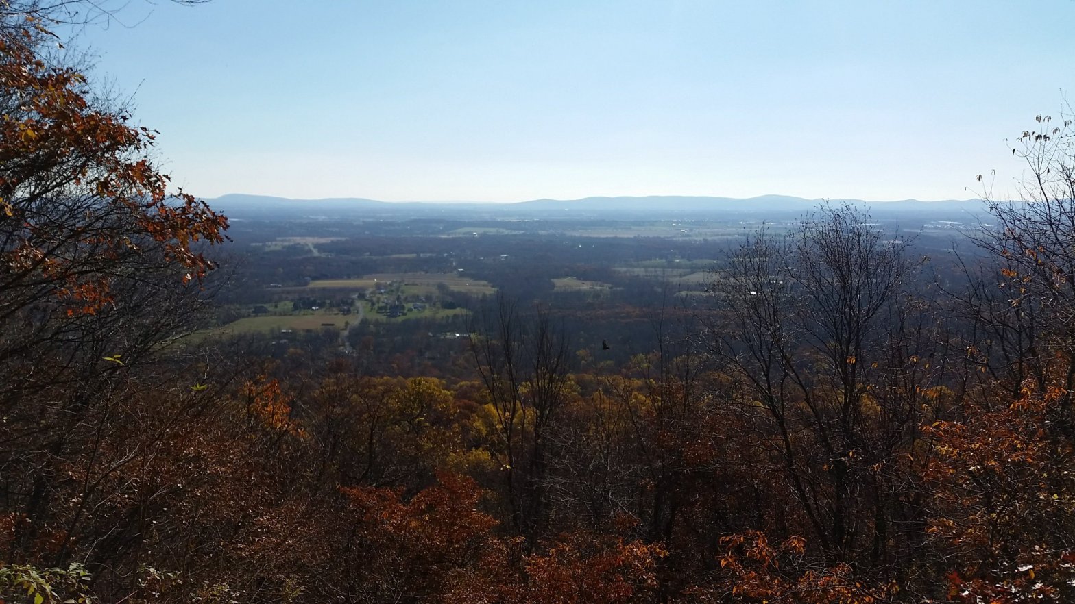
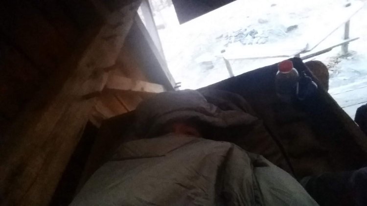
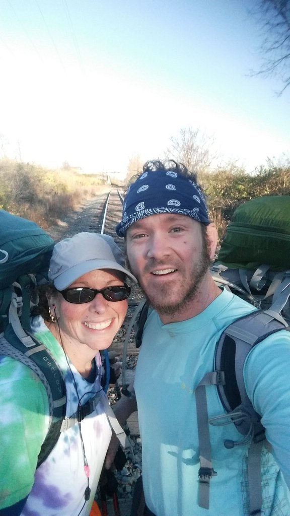
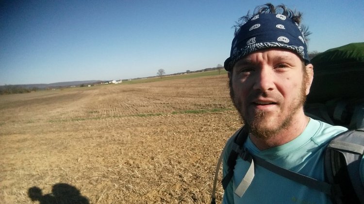
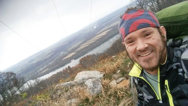
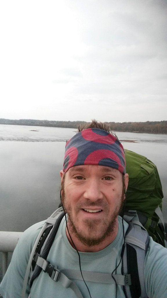
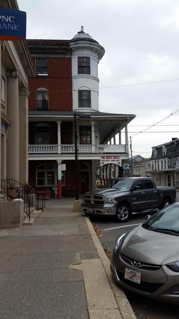
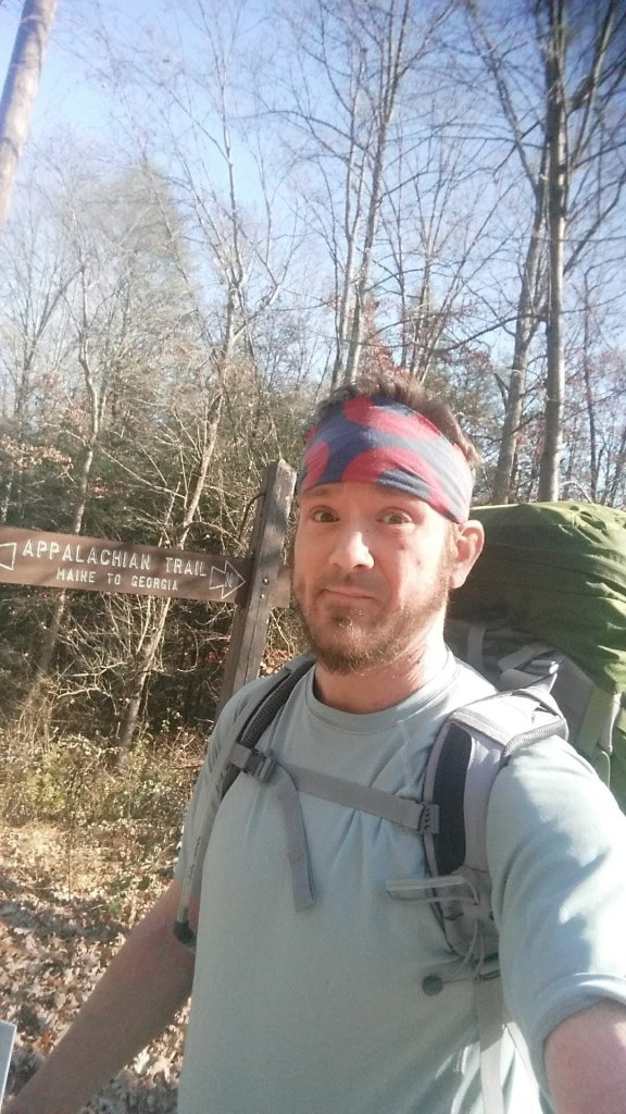
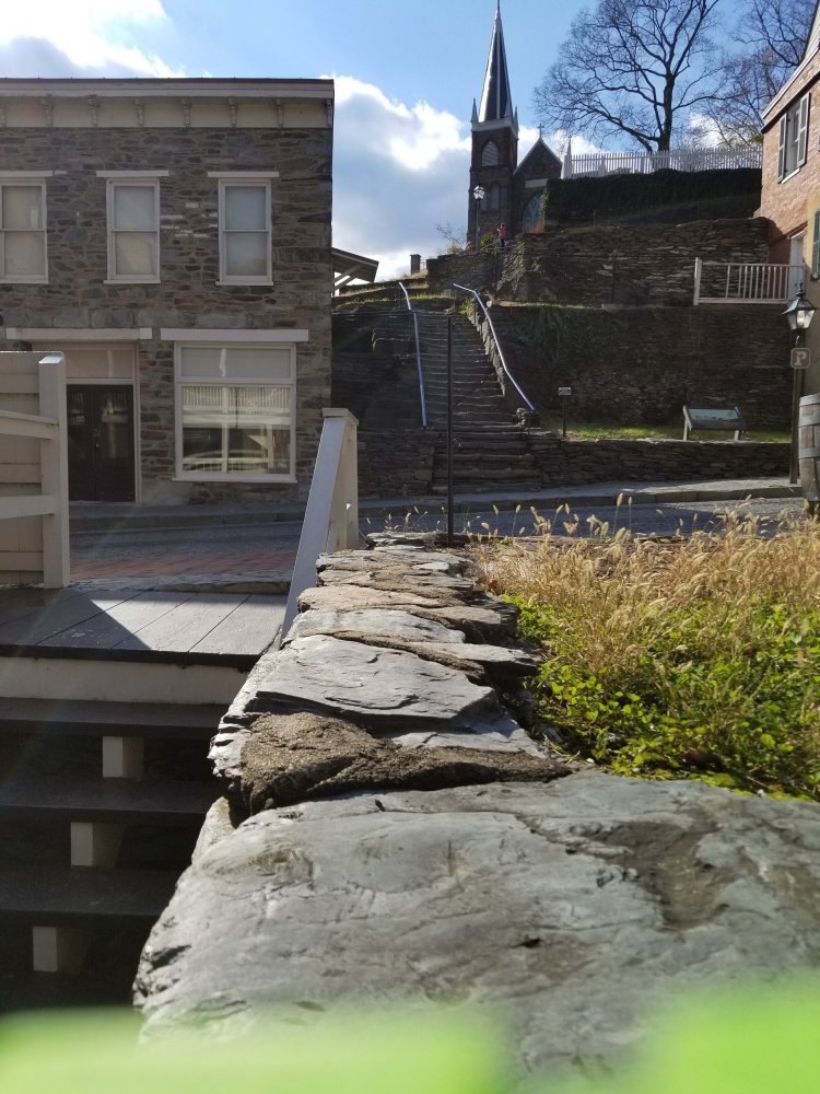
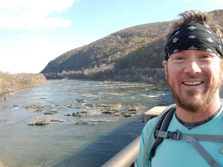
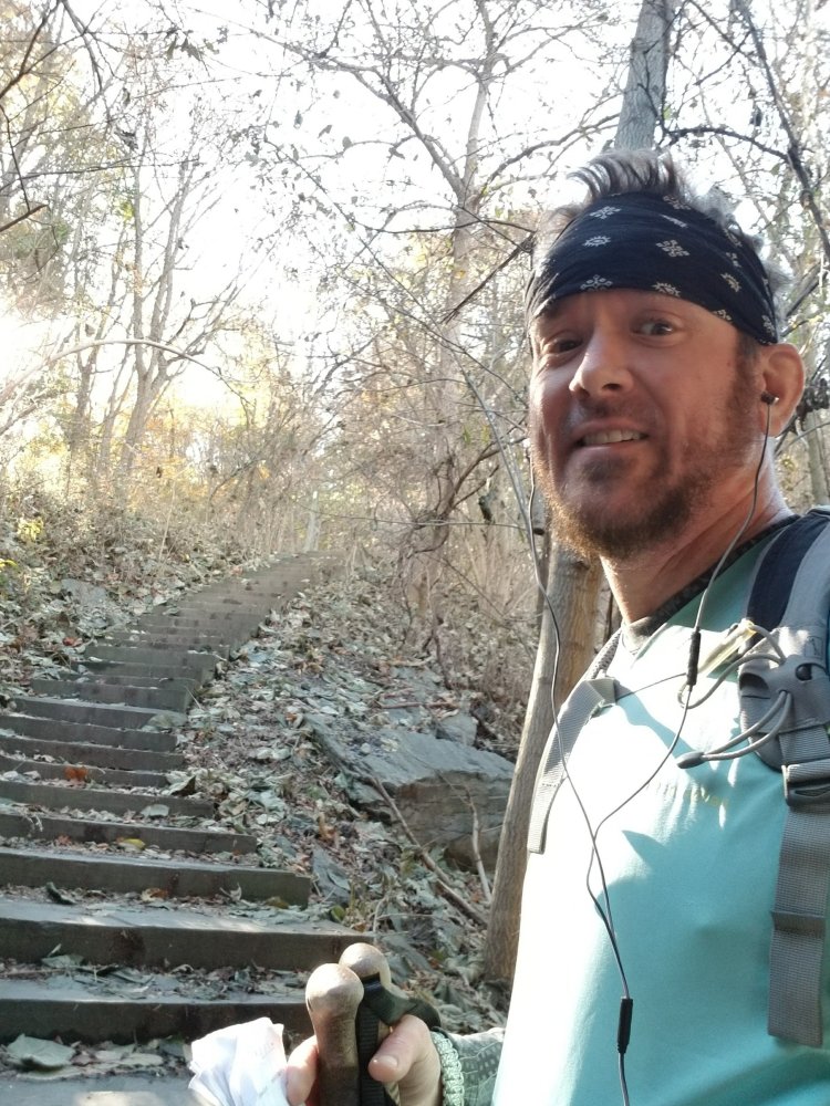
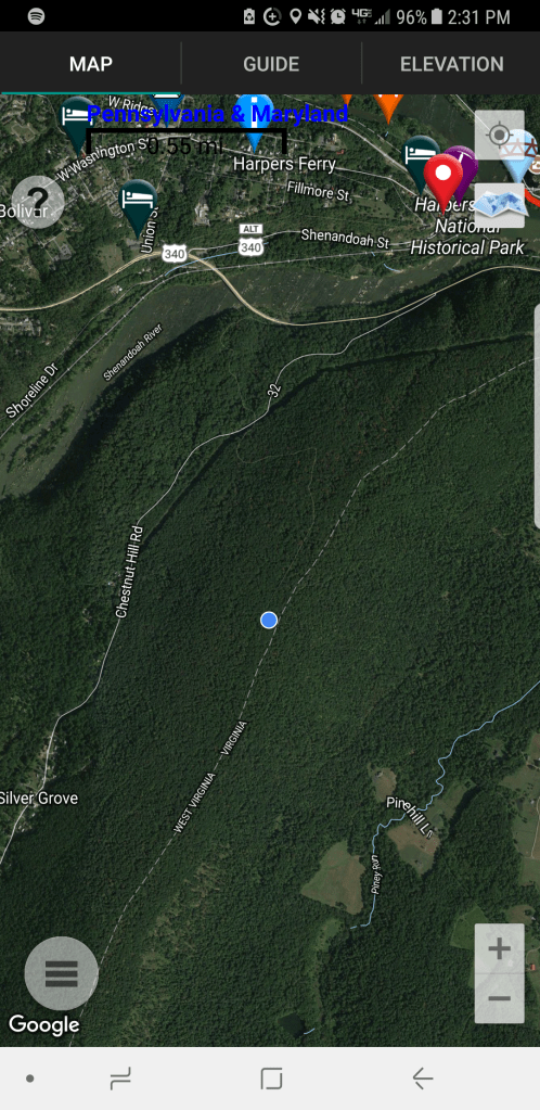
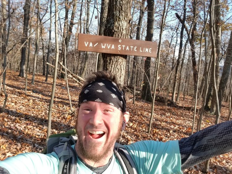
Goodbye Maryland! Hello West Virginia! Today I caught up with Rock Turtle in Harper’s Ferry, WV. I awoke earlier than I wanted to with obnoxious rays of sun in my face but once I decided that trying to hide from them was useless I got up and embraced them and realized how pleasant they actually were. It was going to be a great day! It was a cool morning but it quickly warmed up and I shed layers as I headed south towards the Potomac River. My water had frozen again last night and this was the morning that I officially coined the phrase “Davenport’s Triad” – hypoxia, hypothermia, tachycardia. It seemed to be the theme for this particular hike. I caught up with Rock Turtle shortly after 11am and we walked across Goodloe Byron Memorial Footbridge into Harper’s Ferry together. (As of this writing the bridge is currently out of commission due to a train derailment on 12/21/19.) We explored the town briefly and ate lunch at the Coach House Bar & Grill on Potomac Street, which was wonderful. Rock Turtle’s knee was acting up again and unfortunately forced her to tap out early. Graciously, she agreed to wait for me while I hiked the 4 miles to the VA/WV border at Key’s Gap and pick me up there in her car which she had already retrieved from Blackburn AT Center thanks to a very memorable shuttle driver named Trail Boss. I continued south out of Harper’s Ferry across the Shenandoah River on US 340 and began the 800 foot climb to the state border in Loudoun Heights, another site with Civil War significance. While I was jubilant about having made it to Virginia, I don’t think I realized at the time that the trail actually traverses the border of WV/VA for about fifteen more miles south, and the “true” entrance to Virginia wouldn’t actually take place until 17 months later when I returned to hike south from Keys Gap with Jeff Myers.

Good morning! The hazy daze is appropriate… my camera knows me well.
The shelter wasn’t fully enclosed, so I set my tent up inside to deal with the wind.
Looks much different from yesterday in the sunlight!
Byron Memorial Bridge… two years before the train derailment that closed it.
Welcome to West Virginia!
Rock Turtle was kind enough to let me slackpack the last six miles 😀
The steps are part of the trail… right through town.
Shenandoah River

Across the Shenandoah River on US 340 with an 800 foot climb straight ahead.

Yay! More stairs!
Treehugger
Hello Virginia!
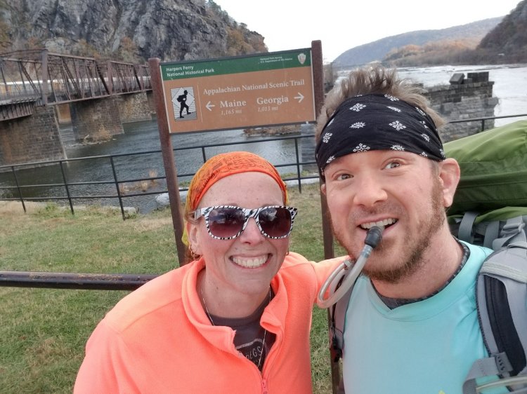
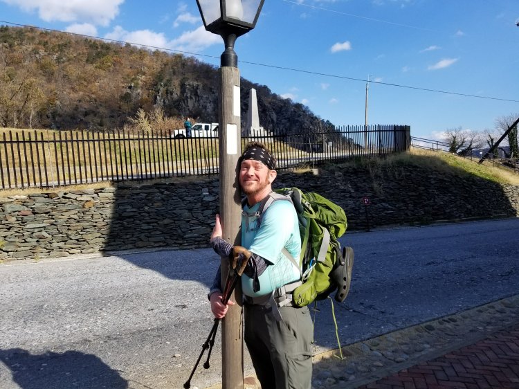
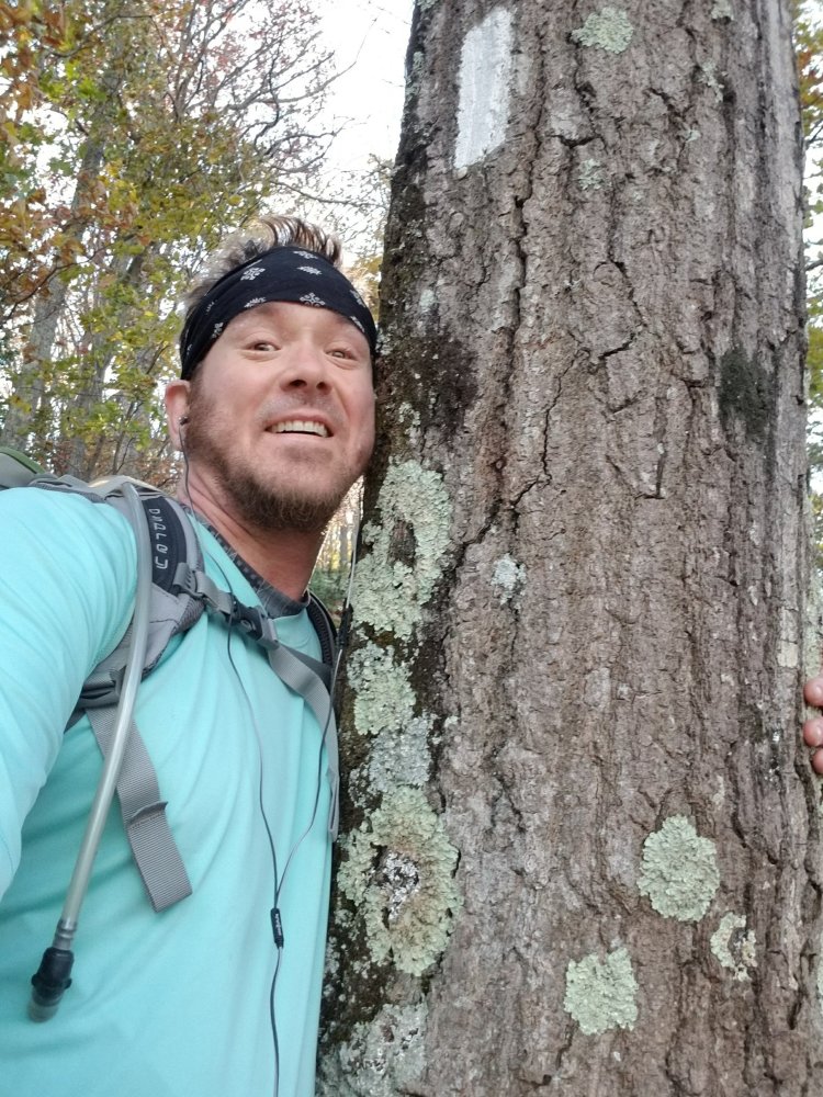
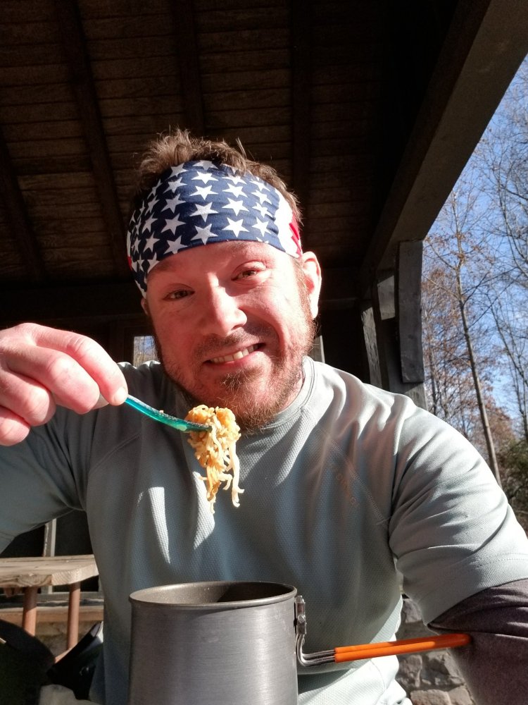
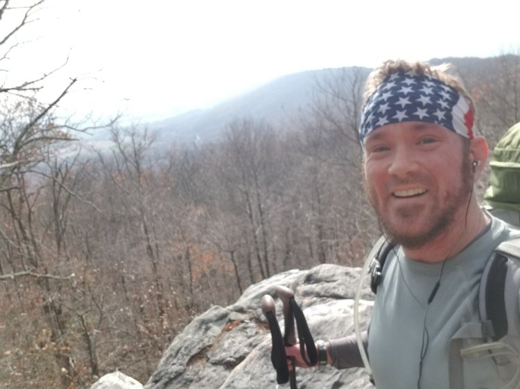
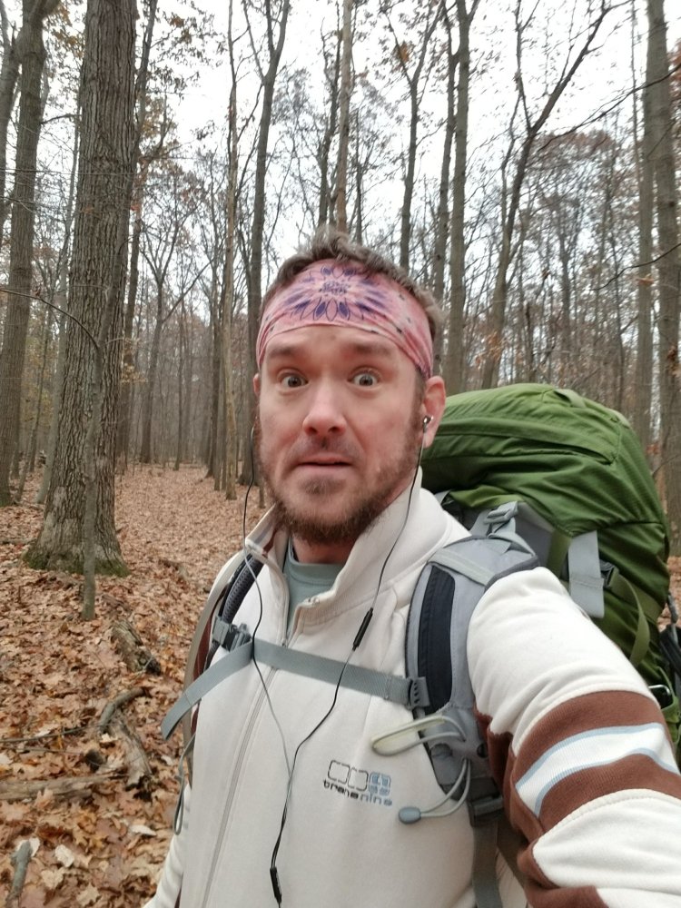
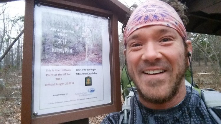
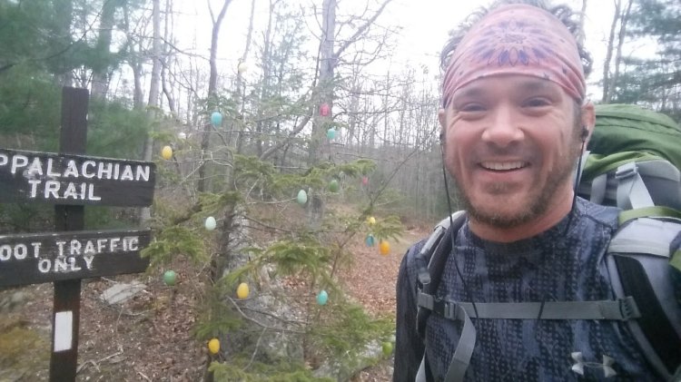
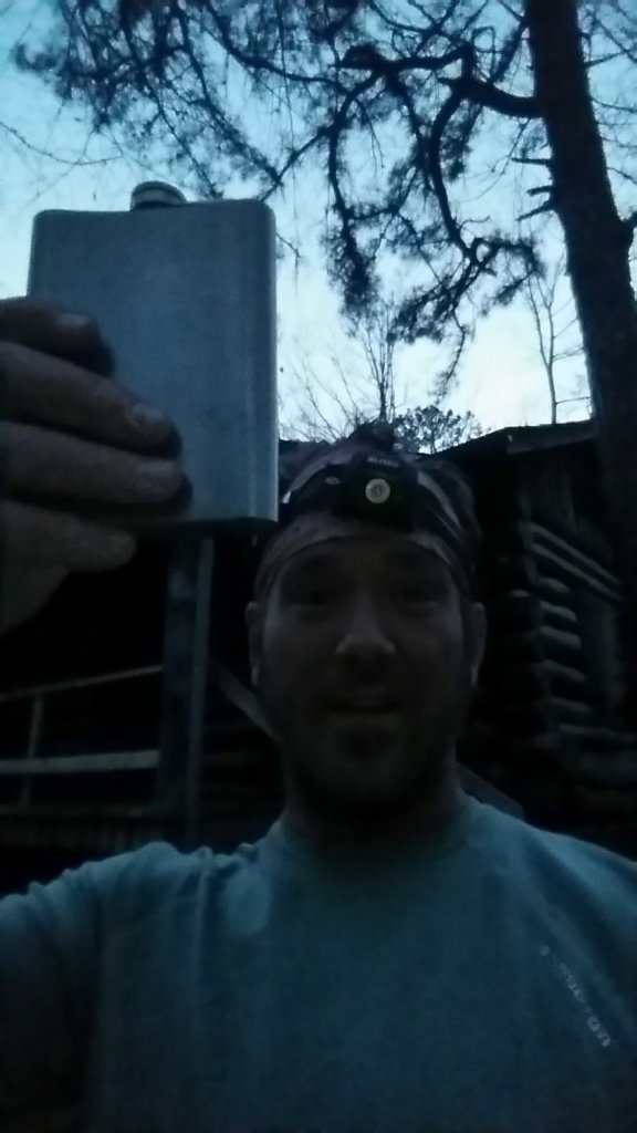
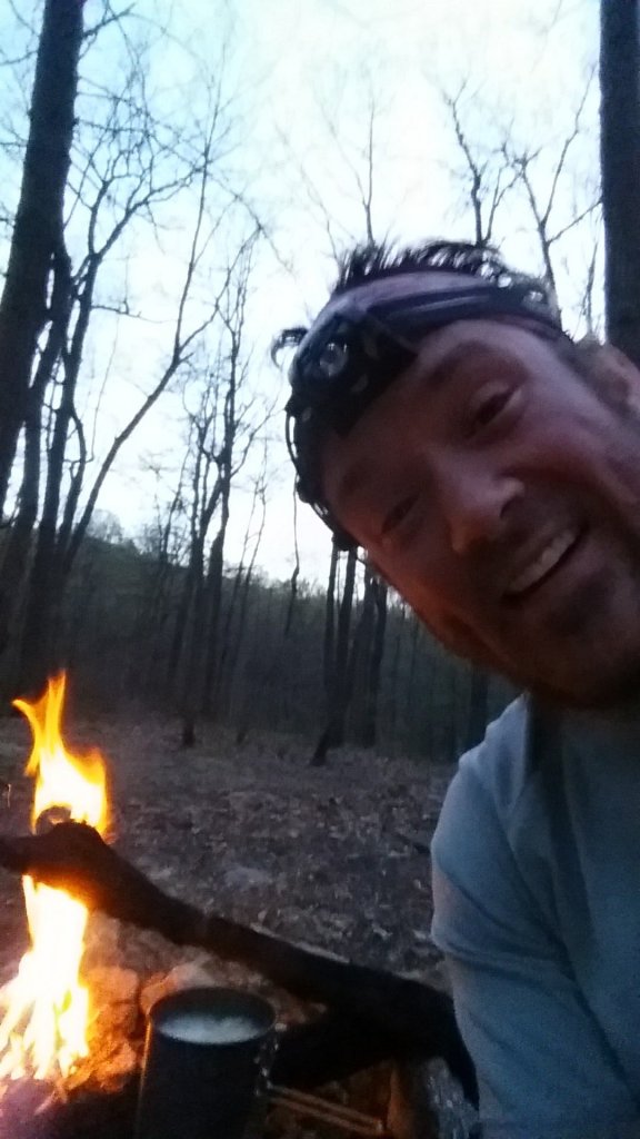
My looks of excitement always seem a little “over the top” ðŸĪŠ
Keys Gap – VA/WV border
Leave it to Rock Turtle to find the most appropriate beer to celebrate with!

Appalachian Trail Day 38

Pine Knob Shelter to Ed Garvey Shelter – 16.6 miles

Wednesday November 15th, 2017

Up and at ’em bright and early! Today was cool and different because it took me through a lot of areas with civil war significance. Washington Monument State Park, (which does NOT, in fact, house THE Washington Monument. It does house A Washington Monument. Who knew there were multiples?) the Reno Monument, Fox Gap, the War Correspondents Monument in Gathland State Park… it was a very educational day of hiking! I ended the day at Ed Garvey Shelter, where Rock Turtle had spent the previous night. She left the place in pristine condition for me!

Crossing I-70 before 8am…
The Washington Monument
BRUNCH in Washington Monument State Park
I think I was getting frustrated.
Frustration resolved…
Another awesome shelter…

Appalachian Trail Day 37

Pen Mar Park to Pine Knob Shelter – 17.7 miles

Tuesday November 14th, 2017

This was a fun hike… I set out with Rock Turtle, who started at a different location than I did because she’d already done some of the miles that I was going to do, so she basically had an 18 mile head start on me. The plan was to finish and meet at the Blackburn AT Center in Virginia. The plan didn’t quite pan out but we came close! By the time I got started from Pen Mar it was almost dark. I hiked 2.8 miles into the dark to High Rocks and then was offered a ride by a very nice lady which I accepted, although she didn’t know where I was going when she offered me the ride and frankly neither did I! She ended up driving me back to my car which was only about a mile away straight down the road but the ride seemed to take forever…she talked and talked and ended up giving me a postcard painting that her husband had done. She was apparently very taken by me and I began to wonder I weren’t being kidnapped. Finally we arrived back at my car and she released me unharmed. I slept in my car that night and hiked back up the road to High Rocks in the morning to resume my hike. It was rockier and more treacherous than I’d anticipated and I almost began to wonder if I hadn’t taken a wrong turn and ended up back in PA. I finally arrived at Pine Knob Shelter and hunkered down for a long cold night.

Pine Knob Shelter

Appalachian Trail Day 36

Antietam Shelter to Pen Mar County Park – 7.4 miles

April 20th, 2017

The final miles of PA! It felt great to finally be finishing my third state, and the longest one I had done yet. 229 miles in PA and I hiked them all! Passed the Deer Lick Shelters which were as impressive as the ones I mentioned yesterday. I’d go as far as to say that all the shelters in the Michaux State Forest are exceptional. The hike was uneventful…rocks, trees, boulders… a barking dog, smiling faces, and then… MARYLAND!! Just three tenths of a mile before I arrived at Pen Mar Park was the beautiful sign I’d waited years to lay eyes on! We embraced like old friends and shared some sweet kisses, and then like I always do… I turned my back and walked to my car and drove home.

9:37am and I’m already in pain. Why did I think 24 miles yesterday was a good idea?
Mission Accomplished!
The view from the pavilion at Pen Mar Park

Appalachian Trail Day 35

Michener Cabin to Antietam Shelter – 24 miles

Wednesday April 19th, 2017

Happy Birthday Mom! Today I learned another valuable lesson. Just because you CAN do something doesn’t mean that you SHOULD do something. 24 miles seemed like a great idea at the time but at the end of the day I came limping into camp like the walking dead. Southern PA has some of the NICEST shelters I’ve ever seen! (For some reason I’m favoring the shift key a lot while typing…yes I’m aware lol.) Of course… the shelter I chose to stay at happened not to be one of them but it did the job just the same. The shelters I’m referring to are Tumbling Run Shelters and Rocky Mountain Shelters but the gold medal definitely goes to the Quarry Gap Shelters!! There is a caretaker on site during the peak season, I believe, and man do I wish my timing during the day had been better because I would have loved to have stayed at this site. If anyone knows when it was constructed please tell me because it looked brand new. They even have separate quarters for snorers and non-snorers! Anyway…. I ended up at Antietam Shelter (after a short downpour) which was just fine, although its proximity to the road and the empty beer cans in the fire ring made it quite obvious that this was unfortunately a party spot for the locals. I had the shelter to myself, ate dinner, swallowed a dozen Advil, and went to bed! No more 24 mile days for this guy! I need a chiropractor! Seven miles to Maryland!

Leaving the Michener Cabin at 7:15am. I don’t even get up this early for work!
Will I ever get rid of those bags under my eyes?
Hunchback hiker in the rain!
The Taj Mahal of hiking shelters…Quarry Gap!
Having recently been Easter, I thought it was great that someone had decorated a tree.
I’m always observant and curious about other hikers and what they choose to carry and how they choose to carry it. This herd of hikers had the most ENORMOUS packs I’d ever seen. They were carrying everything but the kitchen sink. Some of their packs were as big as refrigerators! To each his own… Hike Your Own Hike!
Antietam Shelter
oh my aching bonesðŸ˜ą

Appalachian Trail Day 34

Sheet Iron Roof Road to Michener Cabin – 17.8 miles

Tuesday April 18th, 2017

This was a fun day… and a long day! I really enjoyed myself, and not just because it was Bob’s birthday! Happy Birthday Bob! I think I might have my locations a bit mixed up because I believe I started today with the rock maze… which according to the map is north of where I thought I camped last night and I’m currently heading south but whatever…. my estimation is the best I could do! The rock maze was a lot of fun, as was Pine Grove Furnace State Park, where I got to use a real bathroom! The trail passes the AT Museum as it exits the park, and it wasn’t officially open at the time, but the owner/caretaker was on a ladder painting outside and was kind enough to let me in to explore and he also gave me my second passport stamp! 😃 The next fun milestone was the AT midpoint, marked with a fun sign that I can only imagine is an incredibly glorious sight for thru-hikers. I’m not sure where I was planning on staying on this night but I know the place I ended up wasn’t where I planned! After passing the snake in the tree and the sign for Dead Woman Hollow Trail, which I’m sure we’d all love to know how it got its name, I spied the Michener Cabin, which is locked according to my trail guide but in reality I found it to be occupied by a father and his teenage daughter who had arrived there shortly before I had and were more than willing to share it with me! According to the website it sleeps 14 and costs $35 per night but I’m guessing because it was April circumstances were different. Thank you PATC for the use of your cabin! We made sure to leave it cleaner than when we arrived.

Rock Maze
The bathroom at PGF State Park. I think this is the first and only bathroom mirror photo I have ever taken. Yes, I’m kind of proud to say that…
AT midpoint
For some reason I seem to really like holding my passport with my teeth.
This was pretty awesome.
How does this trail get its name?
Michener Cabin from the rear
Happy Birthday Bob! Cheers!!

Appalachian Trail Day 33

Trindle Road to Campsite near Sheet Iron Roof Road – 12.2 miles

Monday, April 17th, 2017

Happy birthday to me! I love spending birthdays alone in the woods. Not sure if I got the exact campsite correct because I managed to lose the pages I’d printed from my trail guide and therefore didn’t mark any locations on those pages. But let’s start at the beginning…

My dad agreed to drive out to my destination point of Pen Mar Park and leave my car, and then drove me back to PA 641 to start my hike where I had finished with Rock Turtle five months before. Dad isn’t a hiker but he’s very supportive and I am thankful for him and my mother as well, despite how crazy she thinks I am.

I had learned of the Appalachian Trail Passport that was becoming popular among hikers, and I was excited to stop at the ATC Mid-Atlantic Regional Office to purchase one. I made it there by 4pm and proudly received the first stamp in my passport. I’m quite a sucker for things like that. I like to collect memories, and the passport is a great way to do that.

My hike started off in more open pastures and then into the woods and then into the town of Boiling Springs, past a lake, through a cornfield, and then back into the woods again. The terrain was still relatively flat and these were easy miles. I was thankful. It was sometime around where I was climbing the hill to Center Point Knob (the original AT midpoint) when I discovered that I must’ve dropped the pages I was carrying from my trail guide. (I never carry the whole book. It’s unnecessary weight. I just photocopy the pages I need for each hike… one of the benefits of being a section hiker.) I retraced my steps for about a half mile but then decided that was stupid. I texted Rock Turtle and Flo and one of them (I can’t remember which one) sent me photos of the pages I needed. I stumbled upon a stream containing trail magic at dusk, and while I was tempted to go further, I decided to stop and set up camp and celebrate my birthday with the delicious Mountain Dew the stream had given me! Thank you John Goodman!

World’s Greatest Dad
It might be flat but I still sweat buckets!
Like a kid on Christmas….
It’s the little things.. lol
Trail magic!
Best birthday gift ever! Never underestimate the kindness of random strangers.
A big birthday candle!

Appalachian Trail Day 32

Cove Mountain Shelter to PA 641 Trindle Road – 17.5 miles

Thursday, November 16th, 2016

Today was pretty cool. The trail went through some pretty nice fields, pastures, and farms, crossed over Interstate 81 and the PA turnpike. About ten miles into my hike I was greeted by Rock Turtle, who had kindly driven down from Nanticoke to pick me up and deliver me back to my car. I hiked the rest of my miles with her and we arrived at Trindle Road before dark.

Snug as a bug!
Some mornings I just don’t want to get up. Even on the AT.
Cove Mountain Shelter
PA Turnpike or I-81?
The farms of Cumberland County

Appalachian Trail Day 31

Powerline to Cove Mountain Shelter – 12.7 miles

November 16th, 2016

Today I crossed the Susquehanna River and headed into Duncannon to check out the legendary trail stop… the Doyle Hotel. The trail is flat for three miles as it crosses the river and heads right through town and I made pretty good time. The ominous skies helped speed me up a bit and I almost decided to skip the Doyle because of the rain I thought was coming. Instead I went in and ordered a burger and a bloody mary. I did as the sign said and left my pack in the foyer before entering. It was around 1pm and there were only a handful of people on the place. The girl behind the bar grumbled a bit when I asked for a bloody mary and I offered to make it myself because I know it’s an annoying drink for some bartenders, but the manager gently persuaded her to make it for me and I told her I’d tip her well for it. The climb out of Duncannon was steep but not terribly long. I passed a few northbound day hikers and arrived at the Cove Mountain Shelter with a bit of daylight to spare. Being November, I had much less daylight than during “normal” hiking season and I was probably asleep by 8pm. And it got COLD.

Crossing the Susquehanna River
The streets of Duncannon have white blazes on the telephone poles.

Appalachian Trail Day 30

PA 325 to Powerline – 9 miles

Tuesday, November 15th, 2016

It’s been seven months but I’m back again, this time heading southbound from where I last left off in Pennsylvania after the pack rash episode on Day 19. I drove back to PA 325 and hiked south 9 miles… past the Shikellamy Trail that had been my escape route two years and four months ago. I was chomping at the bit to put that horrible memory behind me and to get past Duncannon. The hike was more of the same rocks… it’s still Pennsylvania. In case you forgot what I look like… here’s some more selfies…ðŸĪŠ.

Camping between Table Rock and PA 225
Glad to put this sign behind me!!